Construction Drone

  • Home
  • Construction Drone

Construction Drone

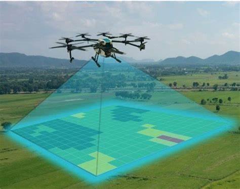
Elevating Construction Excellence: The Role of Construction Drones

In the realm of construction, innovation takes flight with Construction Drones. These aerial marvels are revolutionizing the industry, particularly in the critical phase of topographic mapping and land surveys.

Topographic Mapping and Land Surveys: Unleashing Efficiency


  • Planning Precision: Consulting topographic maps is a fundamental step in the planning of complex, large-scale construction projects. However, traditional methods are often hindered by high costs and time-intensive processes, leading to outdated maps at project initiation.
  • Time and Cost Savings: Enter construction drones. With the ability to swiftly map vast quantities of land, drones become the catalyst for efficiency. They exponentially reduce the time required for visualizing a site's topography, ensuring that the project stays on schedule and within budget constraints.
  • Real-Time Data for Informed Decisions: Drones provide real-time data on topography, enabling construction teams to make informed decisions before initiating a project. This not only expedites the planning phase but also helps identify potential challenges and ensures that the project design is well-suited for the terrain.
  • Feasibility Assessment: By gathering accurate and up-to-date information, construction drones contribute to determining the feasibility of a project. This information is invaluable for assessing the viability of proposed designs in real-world conditions.

Advantages at a Glance:

  • Accuracy Beyond Measure: Construction drones deliver precise and up-to-date topographic data, minimizing errors and costly blunders in project designs.
  • Time Efficiency: Swift drone surveys significantly reduce the time traditionally spent on mapping, allowing construction projects to commence promptly.
  • Cost-Effective Solutions: The use of construction drones proves to be a cost-effective alternative to traditional mapping methods, optimizing budget utilization.
  • Enhanced Project Planning: Real-time data empowers construction teams with insights crucial for project planning, ensuring a seamless transition from design to execution.

As construction sites embrace the aerial advantage offered by drones, the industry undergoes a transformative shift towards efficiency, accuracy, and informed decision-making. Construction Drones not only redefine how we visualize topography but also set new standards for construction project planning and execution.